Tropical Island (3D)
- Houdini 22
- Solaris
- Karma XPU
- Copernicus
- MaterialX
- VEX
- Python
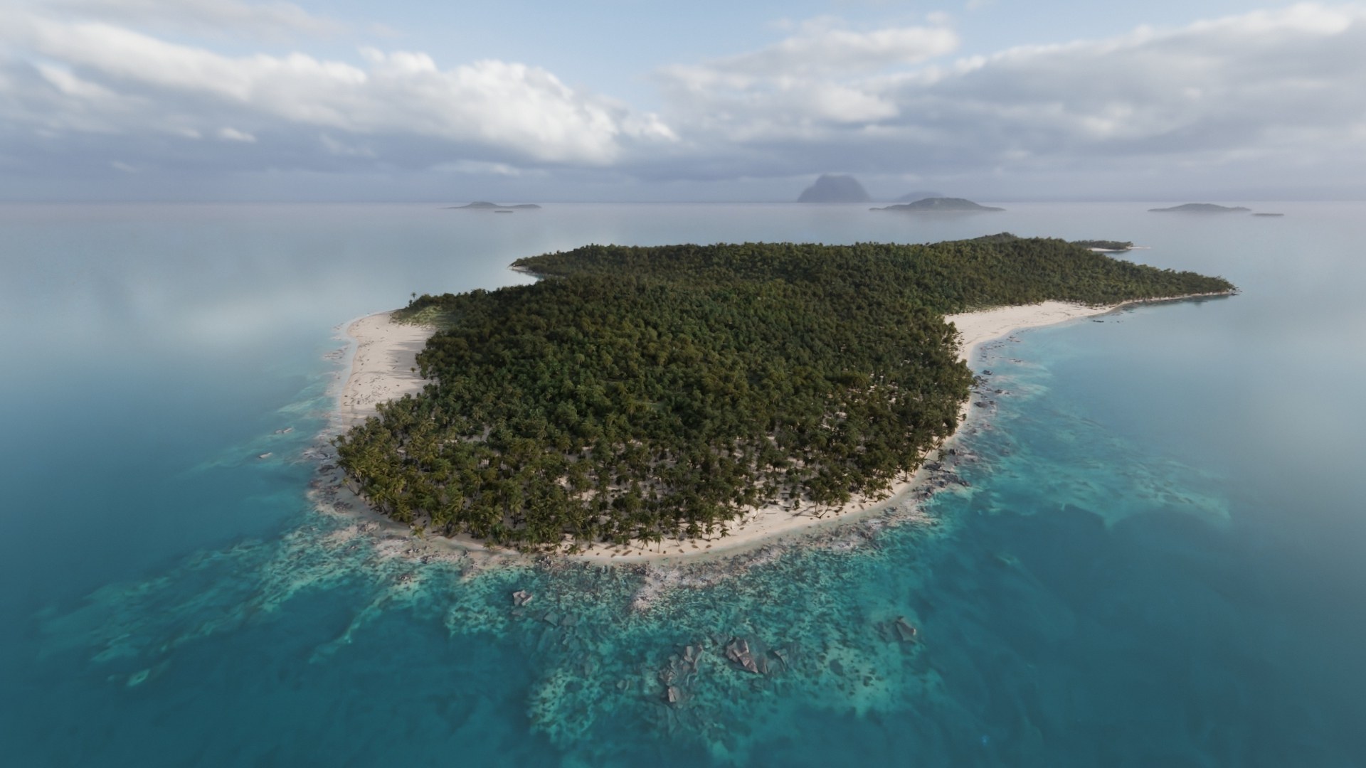
A procedural tropical island in Solaris: depth-accurate water optics, a spur-and-groove fringing reef, natural beach dressing and volumetric marine haze, driven by published field data.
Breakdown
Layer breakdown
Each element is a separate Solaris branch and can be toggled on its own.
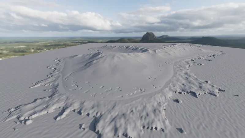
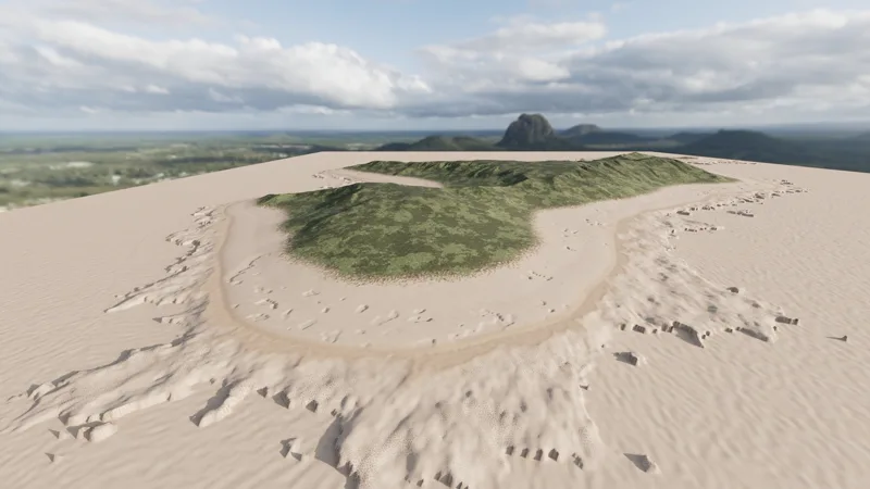
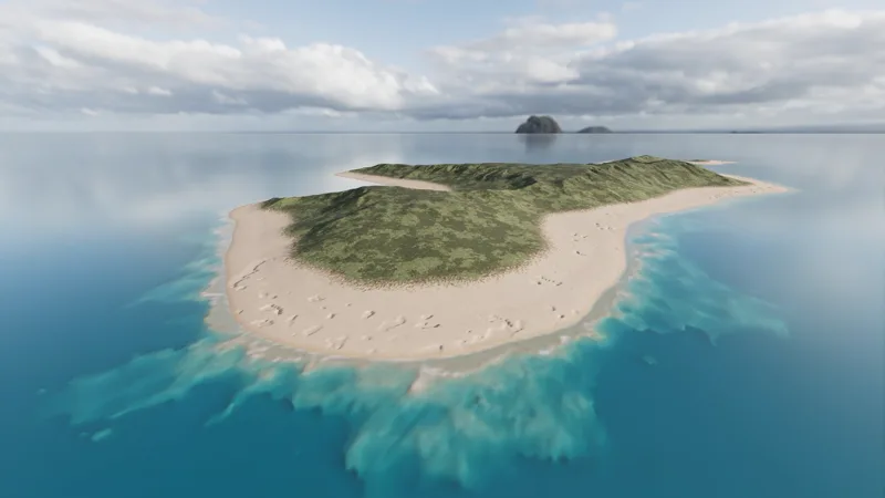
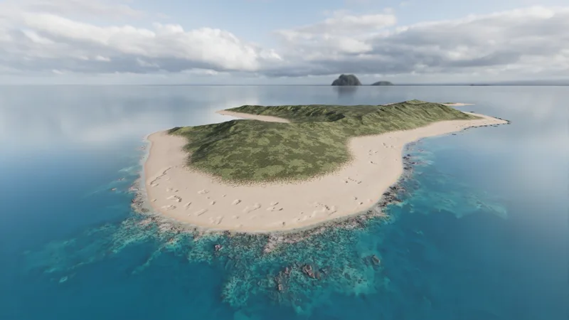
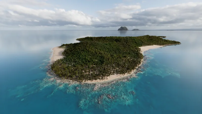
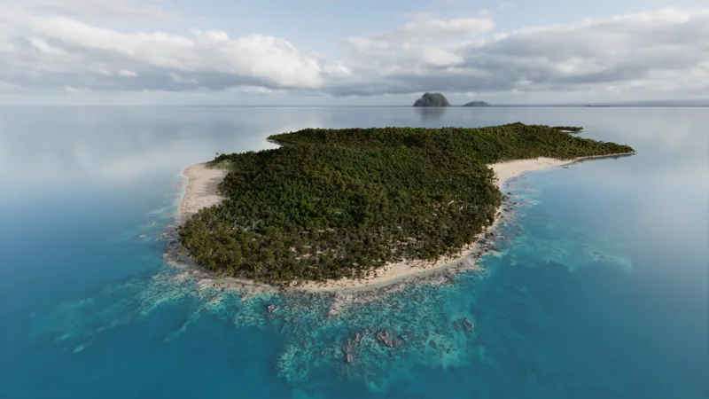
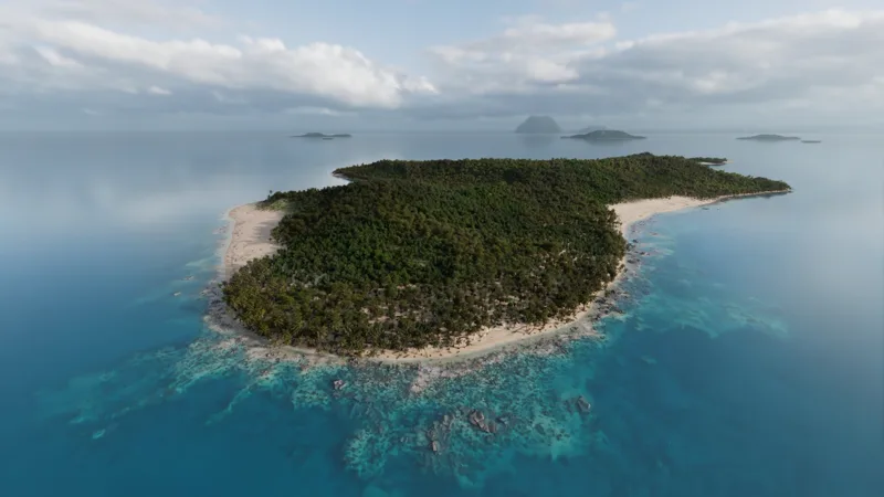
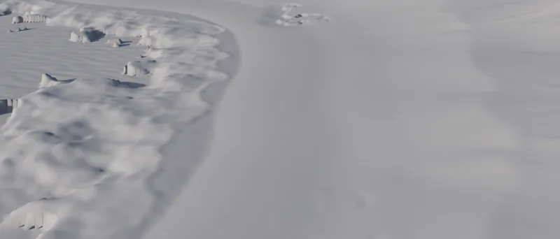
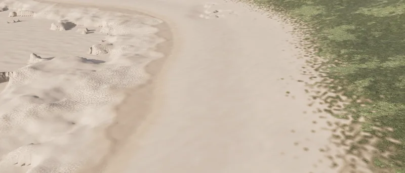
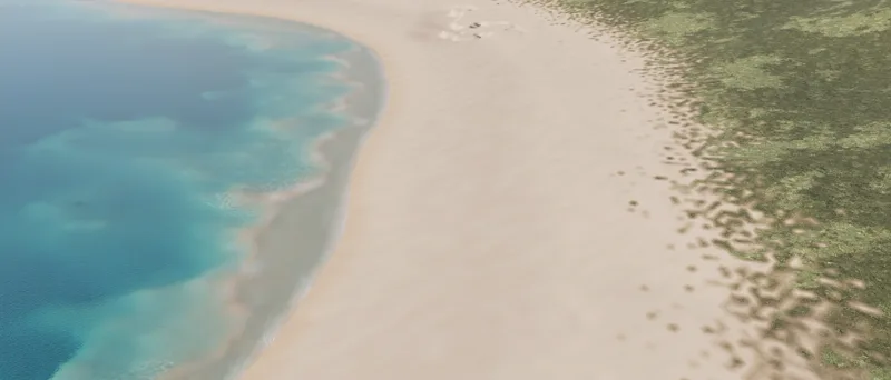
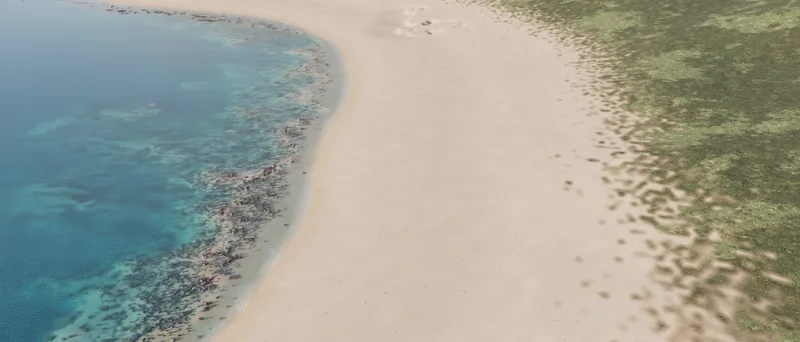
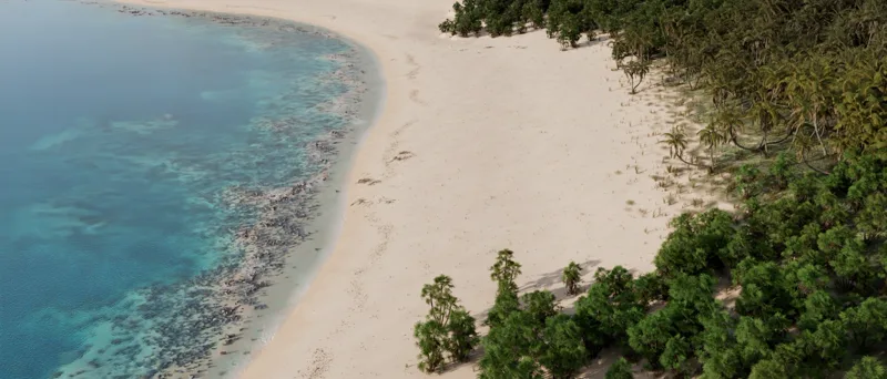
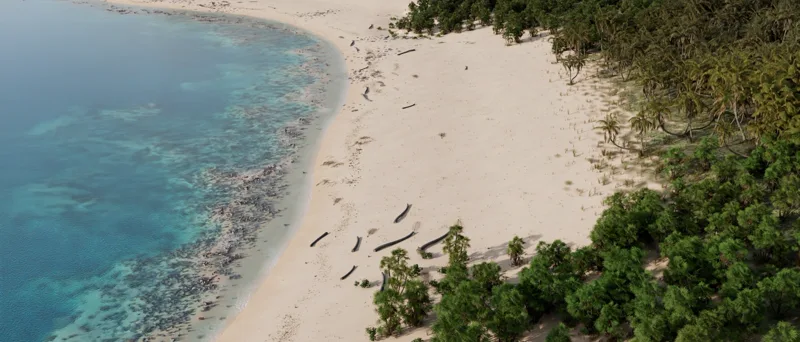
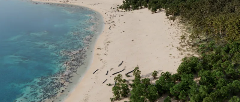
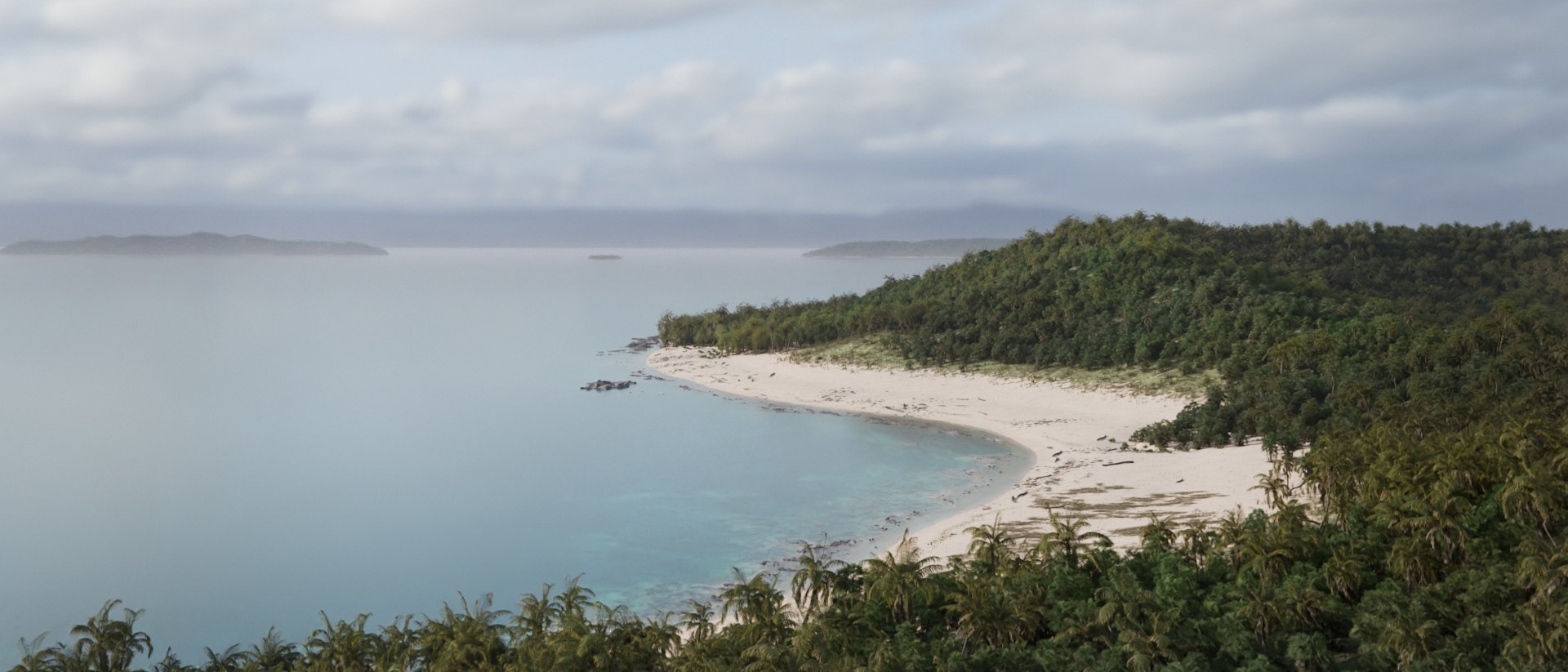
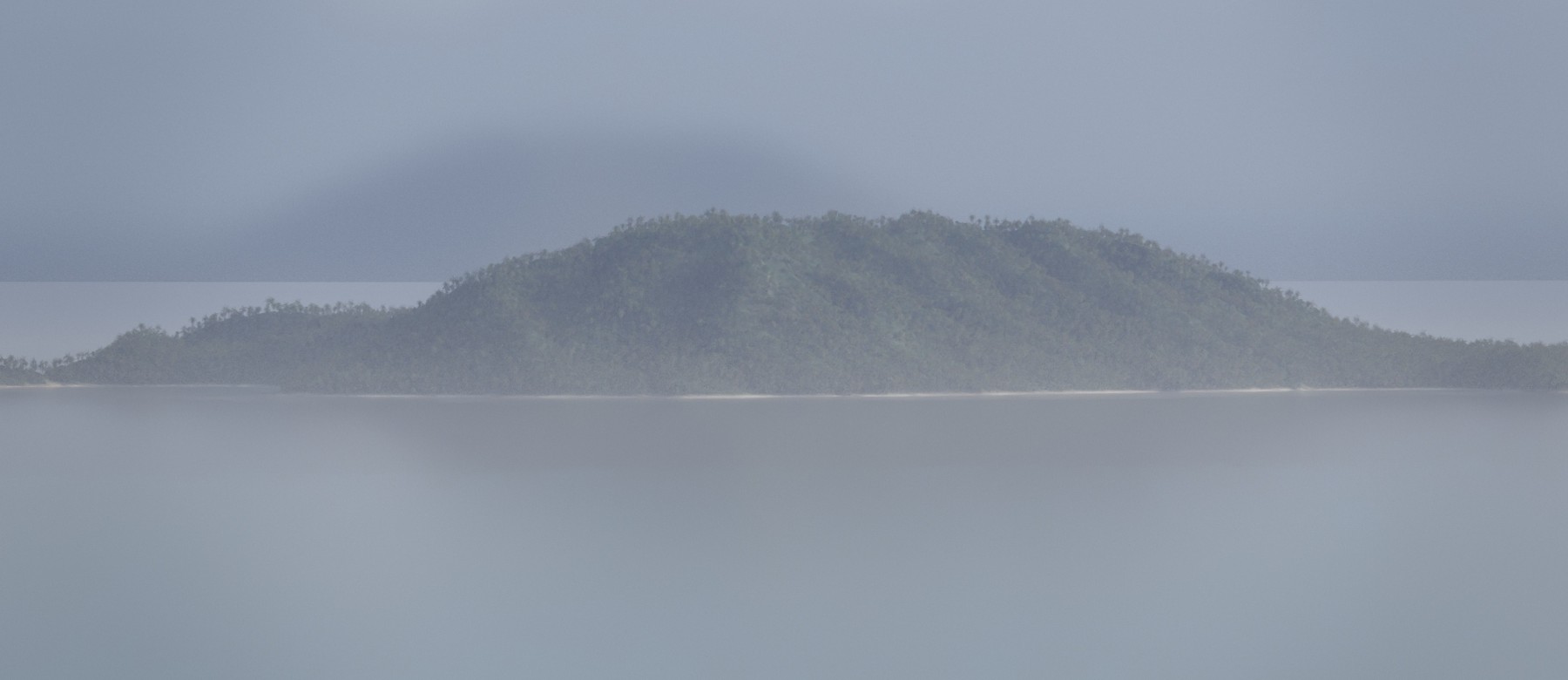
Backdrop and haze: islands 7 to 11 km out, and a haze volume over the whole sea.
Water
Water optics
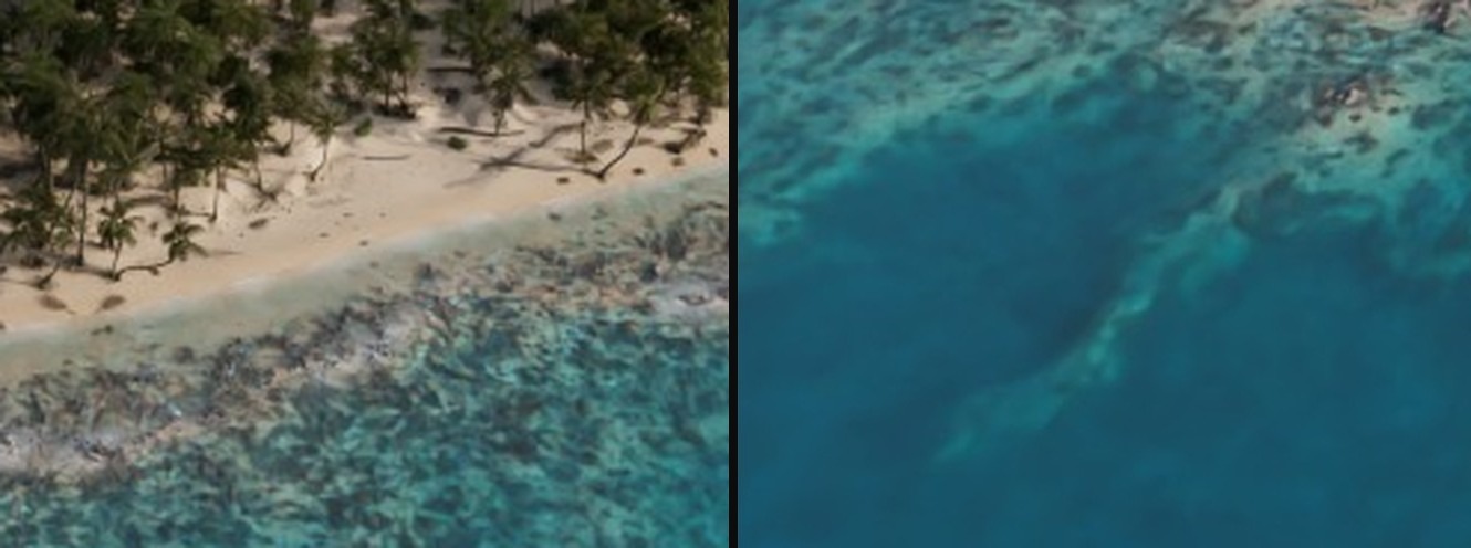
Volumetric seawater with per-channel absorption and scattering from published clear-ocean measurements. The shift from turquoise shallows to deep blue comes from the optics, not a color ramp.
Reef
Spur and groove
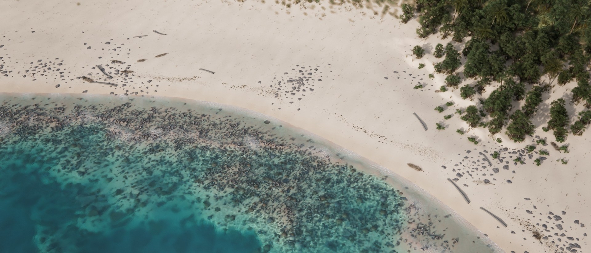
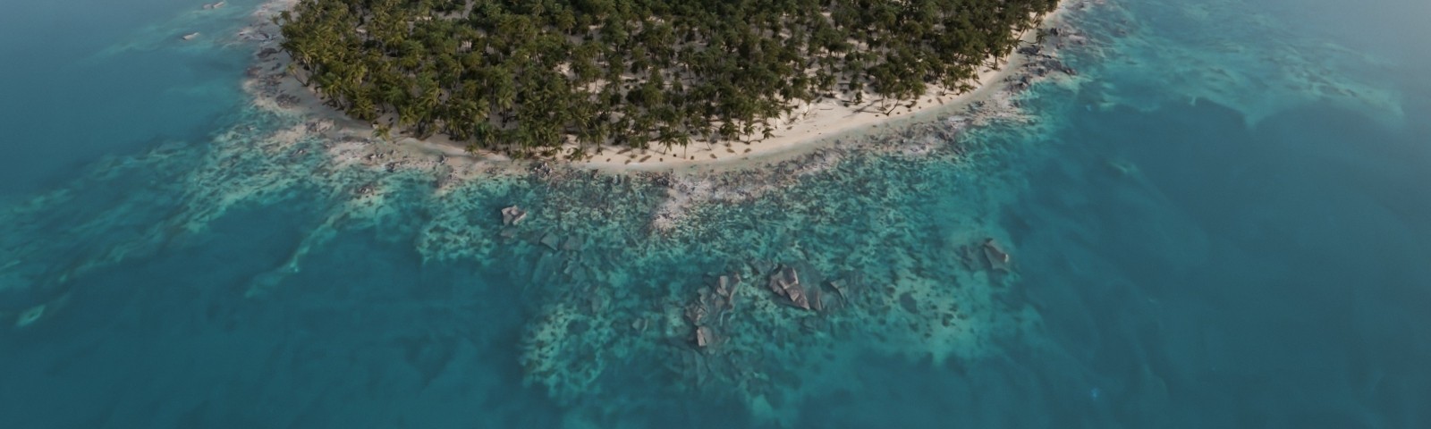
Spur-and-groove layout with 30 to 90 m grooves, as measured on real fringing reefs. 890,000 coral colonies placed by zone and depth, with cover and size distributions from reef surveys.
Forest
Forest stands
59,000 palms of three species in clustered stands. Trees swap species with a probability driven by their neighborhood (about 20% at stand borders, under 10% inside), keeping position and size rank.
Beach
Natural beach
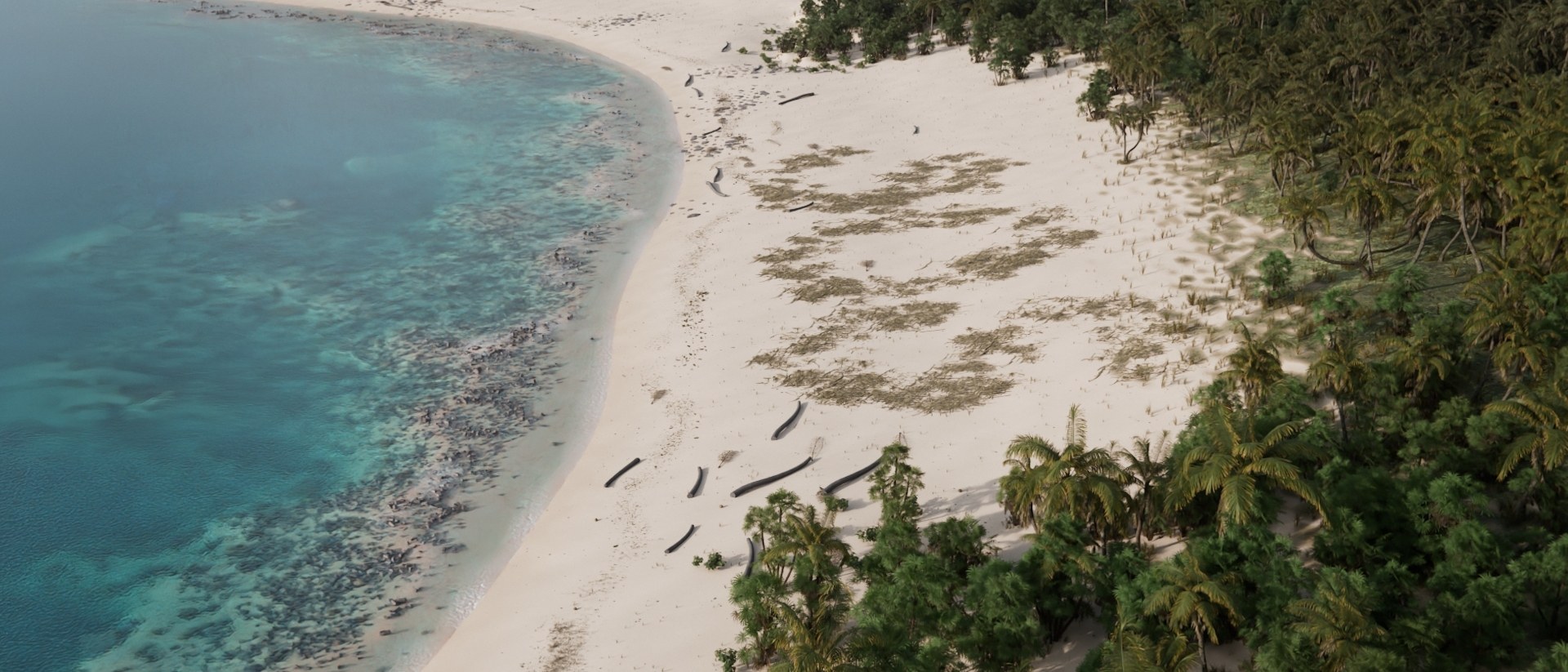
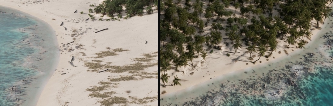
A strandline of seagrass, coconuts and palm debris at the high-water mark, cut from the island's own palm asset and sun-bleached. Debris follows swash deposition and collects at the ends of the beach.
Water
Caustics
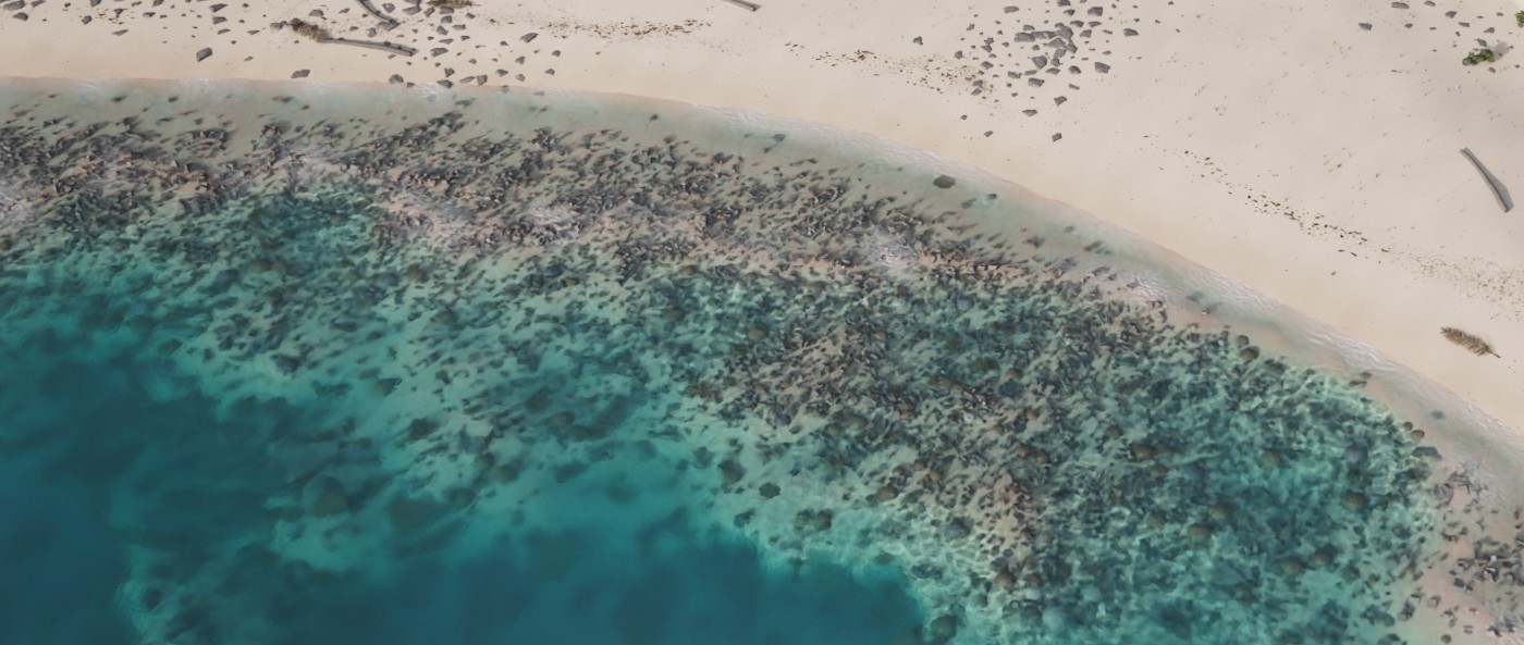
Caustics built in Copernicus from warped cell noise and projected onto the seabed. Intensity is depth-driven: none in the swash, peaking at 1 to 2 m, gone by 8 m.
Backdrop
Backdrop and haze
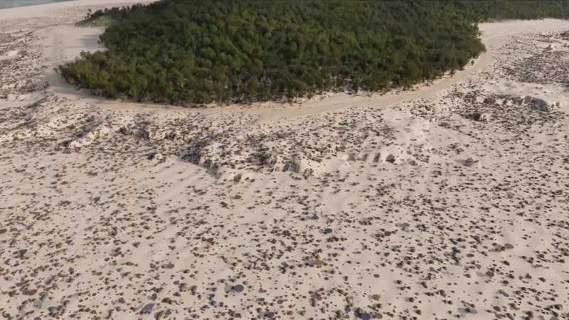
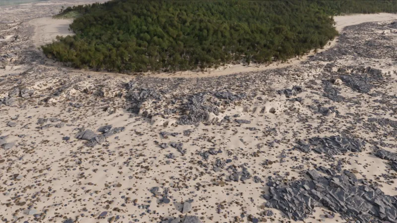
Eroded heightfield islands 7 to 11 km offshore, with exposed limestone on steep slopes. A height-attenuated haze volume (about 50 km visibility, sea-salt aerosol plus Rayleigh scattering) provides all aerial perspective, with no shader-side fog.
Comp
Compositing
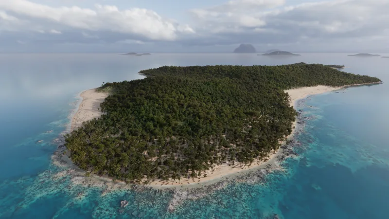
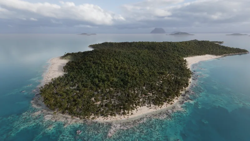
Light AOVs and region mattes graded per region in Copernicus against a drone reference, then finished with glare, veiling light, lens distortion with chromatic aberration, corner softening, vignetting and grain. Drag to compare.
Render
Render optimization
12.5 M instances, frustum-culled per frame with a margin for reflections. On the beach shots memory drops from 19 to 10 GB with an identical image.